

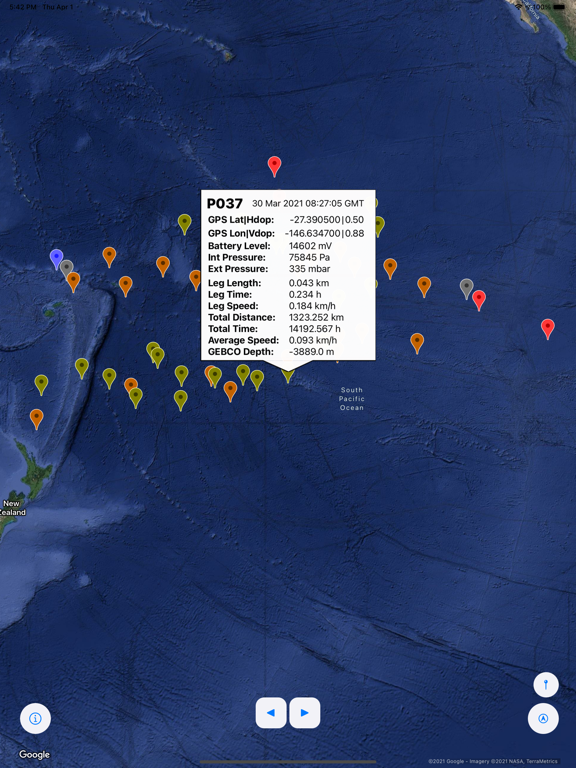

Adopt-A-Float allows users to access trajectory metadata and state-of-health parameters of the EarthScope-Oceans MERMAID fleet. MERMAID, short for Mobile Earthquake Recording in Marine Areas by Independent Divers, is a long-lived drifting autonomous float equipped with a hydrophone capable of recording acoustic waveforms generated by distant earthquakes. Most earthquakes occur at or near plate boundaries, yet most seismic monitoring stations are on dry land. Deployed but not recovered, telemetering data in near-real-time, MERMAIDs are uniquely positioned as a low-cost alternative for geophysical and environmental oceanic data collection. Diving down to a typical parking depth of 1500 m below the ocean surface, they passively drift with the ocean currents, recording the ambient acoustic wavefield, identifying earthquake signals, and surfacing to report those, on average every 4-7 days with the current settings, which are expected to give them a five-year life span. When at the surface, MERMAID collects GPS location and time information and communicates with the IRIDIUM satellite constellation using RUDICS.
Using this iOS app you can:
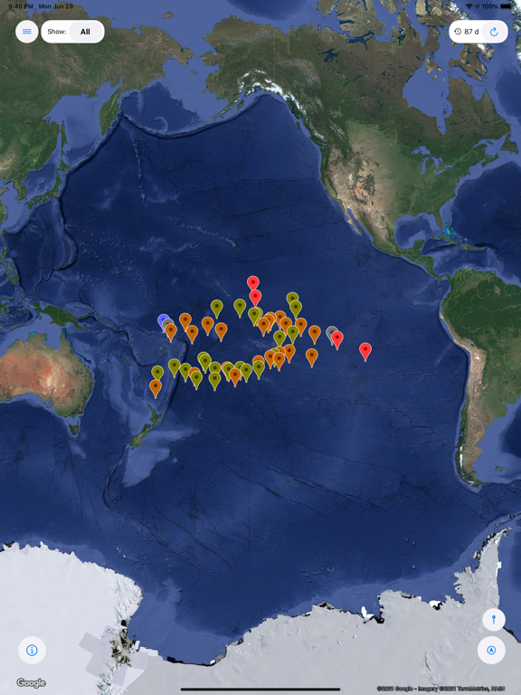
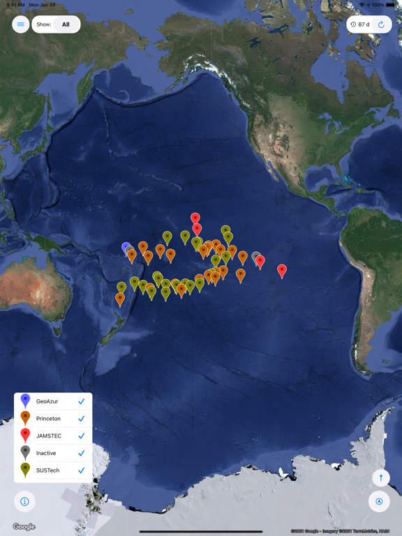
View the current location of all MERMAID instruments
View their most recent trajectories and obtain information about ocean depth
View instrumental metadata such as battery level and instrument pressure readings
Identify the instruments by name and by operating institution
Developed by Tenzing Sherpa
©2021 by Frederik J Simons (www.frederik.net)
Let us know what you think! Give us feedback via https://github.com/tenzingsherpaa/AdoptAFloat-3.0/issues
We acknowledge support from the U.S. National Science Foundation (www.nsf.org) under grants OCE-1917058 and EAR-1150145 (CAREER), and from Princeton University.
MERMAID was designed by scientists and engineers and is now built by OSEAN SAS (www.osean.fr), from which it is commercially available.
EarthScope-Oceans (www.earthscopeoceans.org) is an organization founded by a multidisciplinary group of geoscientists who are coordinating efforts to create a global network of sensors that monitor the Earth from within the oceanic environment. As other organizations are doing for the land-based seismological communities today, EarthScope-Oceans shepherds national projects into the international arena where globally relevant, applicable, and mutually agreed-upon decisions can be made on instrument development, science objectives, data management, and outreach.